
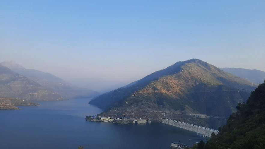
Tehri Dam, located in the Tehri Garhwal district of Uttarakhand, is the tallest dam in India. It is an earth and rockfill embankment dam with a height of about 260.5 m (855 ft) and is built at the confluence of the Bhagirathi and Bhilangana rivers.
Tehri Dam is part of the Tehri Hydro Power Complex, which comprises the Tehri Dam and Hydro Power Project (1,000 MW), the Tehri Pumped Storage Plant (PSP) (1,000 MW), and the Koteshwar Hydro Power Project (400 MW). The Tehri Hydro Power Complex is operated and maintained by THDC India Limited (Tehri Hydro Development Corporation Limited), a subsidiary of NTPC (National Thermal Power Corporation Limited).
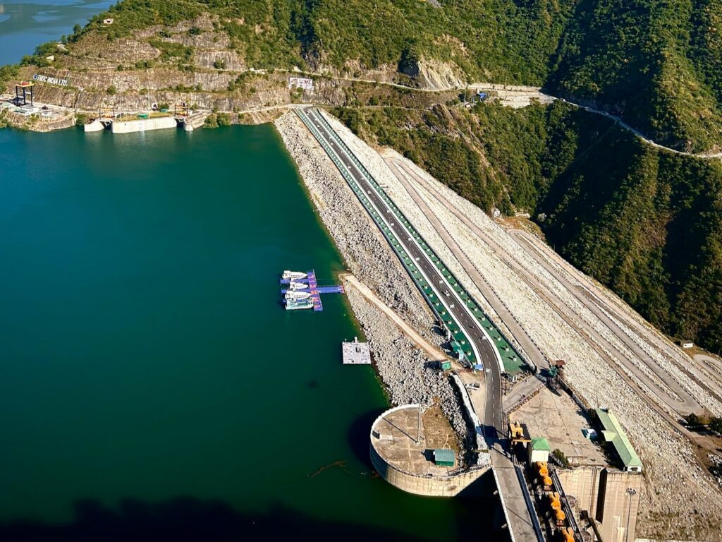
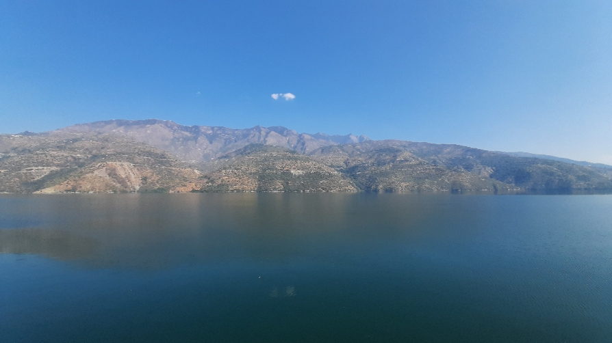
The reservoir serves multiple purposes, including hydroelectric power generation, irrigation, and drinking-water supply to Uttarakhand and nearby states.
The Tehri Dam project took several decades to complete. Construction began in 1978, but the project faced multiple delays due to social, environmental, and political issues. Thousands of families were relocated as a result of the project, with many of those displaced being resettled in New Tehri.
About Tehri Dam
| Tehri Dam height | 260.5 m (855 ft) |
| Installed capacity | 2400 MW |
| Location | Tehri Garhwal district of Uttarakhand |
| Opening year | 2006 |
| River | Bhagirathi and Bhilangana |
Earthquake concern
The Tehri Dam is located in the seismically active Himalayan region, where earthquake safety has been an important consideration in the design and operation of the project. The area has experienced several major earthquakes, including the 6.8 magnitude Uttarkashi earthquake of 20 October 1991, whose epicenter was near Uttarkashi, and the 6.8 magnitude Chamoli earthquake of 29 March 1999. It has been stated that the Tehri Dam was designed to withstand ground motion associated with an earthquake of up to 8.5 magnitude.
Flow control by the dam
The Himalayas are prone to events such as glacier-related avalanches, landslides, and cloudbursts, which can trigger flash floods. The Tehri Reservoir can help regulate downstream water flows by storing floodwater and releasing it in a controlled manner. This flood moderation function helps reduce the impact of high water flows in downstream areas along the Ganga, including Rishikesh and Haridwar.
How to reach
Rishikesh to Tehri Dam
- Rishikesh-Chamba-Tehri lake
Dehradun to Tehri Dam
- Dehradun-Narendra Nagar-Chamba-Tehri lake
- Dehradun-Mussoorie-Dhanaulti-Kanatal-Chamba-Tehri lake
Frequently Asked Questions (FAQs)
Which is the tallest dam in India?
Tehri Dam is the tallest dam in India by structural height, standing approximately 260.5 meters (855 feet) tall.
Where is Tehri Dam located?
Tehri Dam is located in the Tehri Garhwal district of Uttarakhand at the confluence of the Bhagirathi and Bhilangana rivers.
Which is the second-tallest dam in India after Tehri Dam?
Bhakra Dam is the second-tallest dam in India after Tehri Dam. It is approximately 226 meters (741 feet) high and is built across the Sutlej River in Himachal Pradesh.
How much electricity does Tehri Dam generate?
The Tehri Hydro Power Complex has multiple generating units and a total planned capacity of 2,400 MW, including the Tehri Dam and associated pumped-storage and Koteshwar projects.
Read more