
Iran is a country in the Middle East bordered by seven countries: Turkmenistan to the northeast, Afghanistan and Pakistan to the east, Iraq to the west, and Türkiye (Turkey), Armenia, and Azerbaijan to the northwest.
Seven countries that border Iran
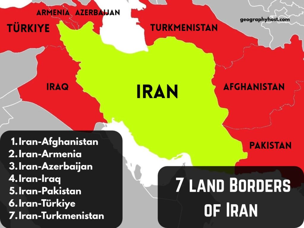
- Iran-Afghanistan
- Iran-Armenia
- Iran-Azerbaijan
- Iran-Iraq
- Iran-Pakistan
- Iran-Türkiye (Turkey)
- Iran-Turkmenistan
Which bodies of water form Iran’s maritime boundaries?
Iran borders three major bodies of water: the Caspian Sea to the north, the Persian Gulf (Arabian Gulf) to the south, and the Gulf of Oman to the southeast. The narrow Strait of Hormuz connects the Persian Gulf (Arabian Gulf) with the Gulf of Oman and is a major global maritime chokepoint through which a significant share of the world’s petroleum passes.
(Also read: Saudi Arabia and Iran – country comparison | Saudi Arabia vs Iran)
What is Iran’s shortest and longest land border?
Iran’s shortest land border is with Armenia, at about 44 km, while its longest land border is with Iraq, at about 1,599 km. The Armenia-Iran border follows the Aras River for most of its length, while the Iraq-Iran frontier extends from the rugged Zagros Mountains in the north to the marshlands around the Shatt al-Arab estuary in the south.