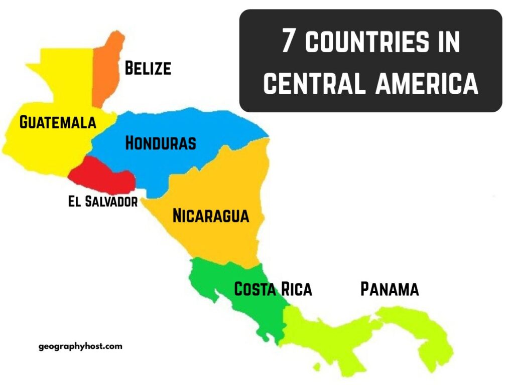
Central America is usually defined as the region between Mexico and Colombia, consisting of seven countries: Belize, Costa Rica, El Salvador, Guatemala, Honduras, Nicaragua, and Panama.
Central America: Map and Data for the 7 Countries
| Country | Area | Population (2025 estimate) | Capital | |
|---|---|---|---|---|
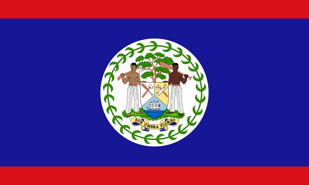
| 1 | Belize | 22,966 sq km | 0.4 million | Belmopan |
| 2 | Costa Rica | 51,100 sq km | 5.2 million | San José |
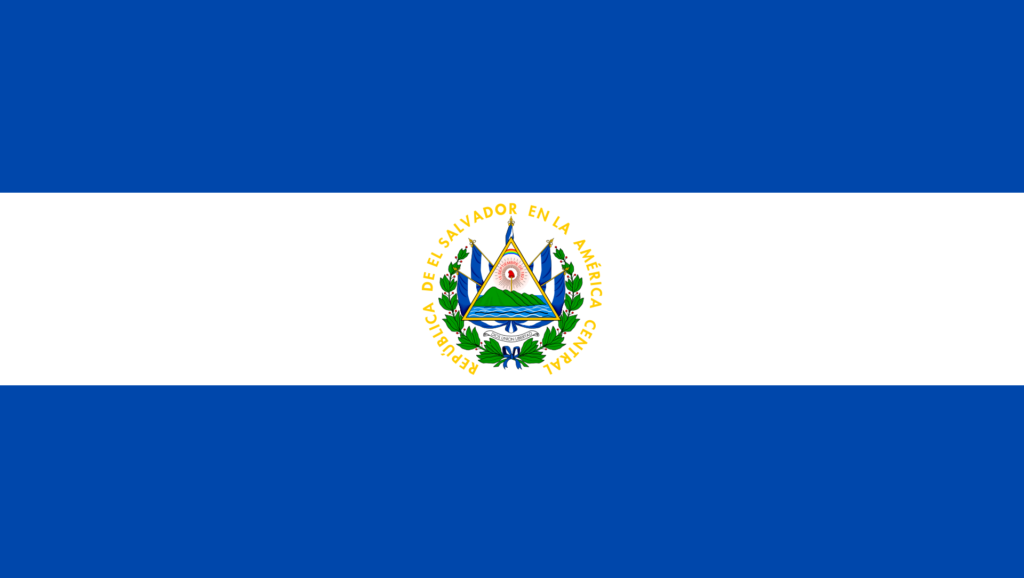
| 3 | El Salvador | 21,041 sq km | 6.4 million | San Salvador |
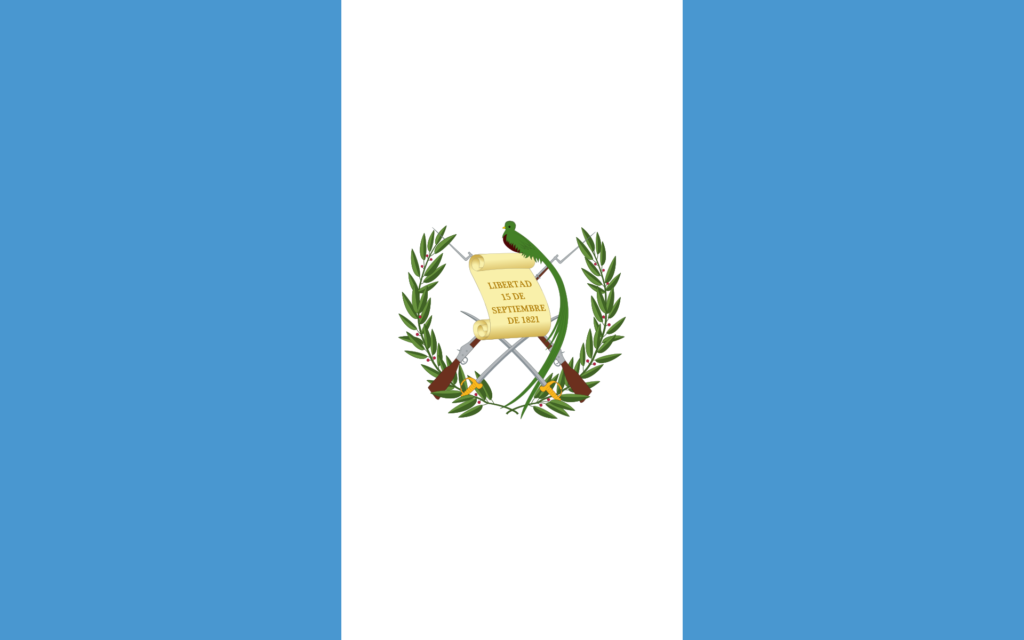
| 4 | Guatemala | 108,889 sq km | 18.7 million | Guatemala City |
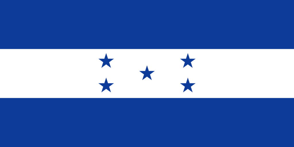
| 5 | Honduras | 112,090 sq km | 11 million | Tegucigalpa |
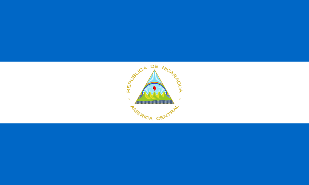
| 6 | Nicaragua | 130,370 sq km | 7 million | Managua |
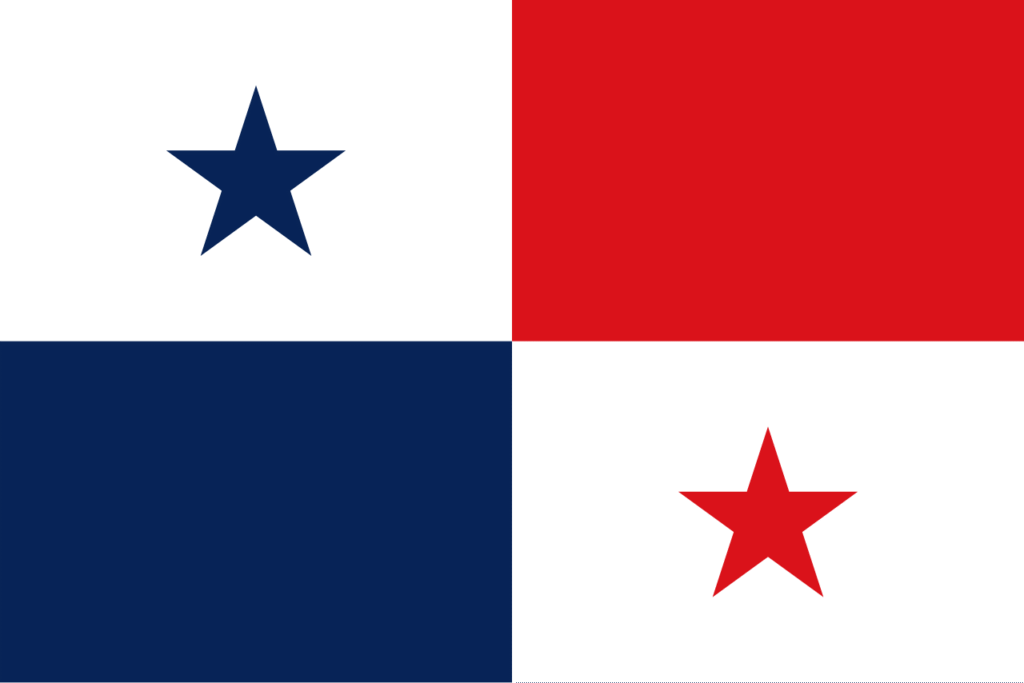
| 7 | Panama | 75,420 sq km | 4.6 million | Panama City |
Fun facts about Central America
- Nicaragua is the largest country in Central America by area.
- Guatemala is the most populous country in Central America.
- Spanish is the most spoken language in Central America.
- On the west of Central America lies the vast Pacific ocean. On the east, lies the Caribbean sea.
- The Panama Canal in Panama is a man-made waterway that connects the Atlantic Ocean (Caribbean Sea) with the Pacific Ocean, serving as a vital route for international maritime trade.
- All countries in Central America except Belize and El Salvador have coastlines on both the Pacific Ocean and the Caribbean Sea.
- Volcán Tajumulco, located in Guatemala, is the highest mountain in Central America (4,203 m/13,789 ft).
(Also read: Countries in South America – all useful information)
Flags of countries in Central America