West Bengal is a state on the east coast of India. It is a part of the Bengal region that also includes the country of Bangladesh and some parts of the north-eastern states. Discussed below are some interesting facts about West Bengal. Let’s read.
West Bengal facts
Overview
West Bengal is the fourth most populous state in India. In terms of area, it ranks 14th. West Bengal shares state borders with Bihar, Sikkim, Assam, and Orissa. The state also has two international borders, a long international border with Bangladesh and a short one with Nepal.
Geography of West Bengal
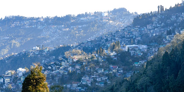
In the North are the green hills of the Himalayas. Darjeeling and Kalimpong are the two famous hill stations in the state. In the South is the Bay of Bengal. The Ganga and Damodar are the two most important rivers in the state.
Ganga divides into Padma and Hooghly near the Bangladesh border. The Padma flows into Bangladesh while the Hoogly flows southwards in the state through Berhampore and Kolkata and drains into the Bay of Bengal. A large portion of the Ganges delta, the largest river delta in the world is in West Bengal.
Tourism is West Bengal
West Bengal is the third most visited state/UT in India by foreign tourists. Approximately, 10 lakh foreign tourists visited the state in 2022. Moreover, West Bengal is also the eighth most visited state by domestic tourists. There are three UNESCO World Heritage Sites in West Bengal.
- Darjeeling Himalayan Railway
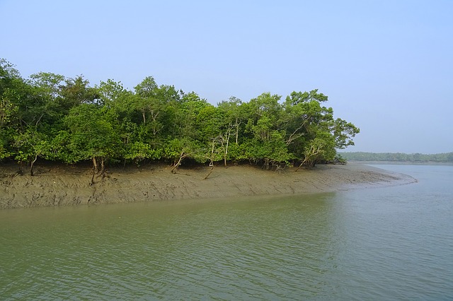
- Sunderbans National Park
- Santiniketan

Other famous tourist destinations in West Bengal include the capital Kolkata, Siliguri, Kalimpong, etc.
Forest and National Parks
The total forest cover in West Bengal is 16,832 square kilometers which is 18.96 % of the total geographical area of the state. There are six National Parks in the state.
- Buxa NP- 117.1 sq km
- Gorumara NP- 79.45 sq km
- Jaldapara NP- 216.51 sq km
- Neora Valley NP- 159.89 sq km
- Singalila NP- 78.6 sq km
- Sunderban NP- 1330.1 sq km

Districts
There are 23 districts in West Bengal. North twenty-four Parganas is the most populous district while South twenty-four Parganas is the largest district in terms of area.
(Also read: West Bengal districts | full list | interesting facts)
Economy
West Bengal is one of the largest contributor to India’s economy. The state’s economy is largely driven by the service sector. The agricultural and industrial sectors also play an important role together contributing to almost half of the state’s GDP.
Some useful information
- The capital city of West Bengal, Kolkata was the capital of the British Raj in the Indian subcontinent. It was then known as Calcutta.
- 42 Lok Sabha seats and 16 Rajya Sabha seats in the Parliament are from West Bengal.
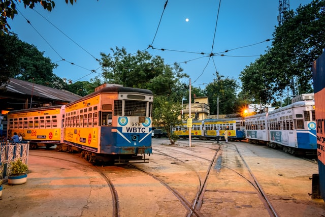
- The Kolkata tram is the only tram system still working in India.

- The Great Banyan tree located in Acharya Jagadish Chandra Bose Indian Botanical Garden in Howrah is one of the largest trees in the world by the area of canopy. The total area occupied by the tree is approximately 19,000 square meters.
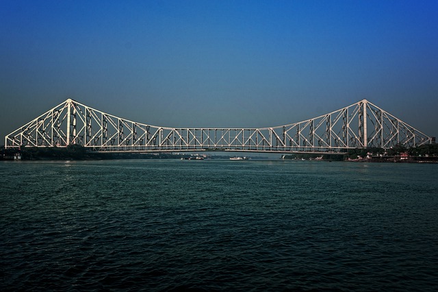
- The famous Howrah bridge, also known as Rabindra Setu was opened way back in 1943.

West Bengal facts table
| Capital | Kolkata |
| State animal | Fishing cat |
| State bird | White-throated Kingfisher |
| Area rank | 14 |
| Population rank | 4 |
| Number of districts | 23 |
| State tree | Chatim tree/ Blackboard tree (Alstonia scholaris) |
| Literacy | 76.26 % as per the 2011 census |
Read more
- Uttar Pradesh facts – The mini India within India
- Uttarakhand facts – The dev bhumi (The Land of Gods)
- Madhya Pradesh facts – The heart of India
- 11 interesting facts about the Rajasthan state
- Maharashtra facts – Overview, economy, tourism, districts, etc.